Vegetation Type Mapping (VTM)
The Wieslander Vegetation Type Map (VTM) collection is a data set compiled in the 1920s and 30s, consisting of photos, species inventories, plot maps, and vegetation maps covering most of California. The VTM Project is a collaboration between groups at UC Berkeley and UC Davis.
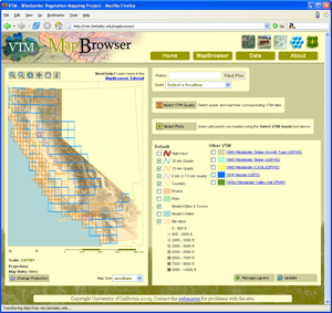
Visit the VTM homepage to link to the data, or click on the image below to link directly to the VTM MapBrowser.
Please visit the GIF in Mulford Hall to explore this data in person, or contact GIF personnel for more information.
