NextMap California
DTM, DSM, DEM Data
Intermap Technologies, Inc. has donated 2 tiles covering areas in covered by the Slate Mountain USGS 7½-minute quadrangle in central Sierra Nevada, including the southern portion of the Blodgett Forest Research Station.
The data were acquired and processed by Intermap as part of the NEXTMap California program, based on Interferometric Synthetic Aperture Radar mapping of California in 2004-2005.
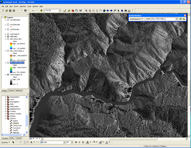
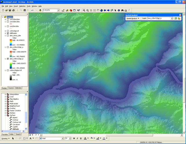
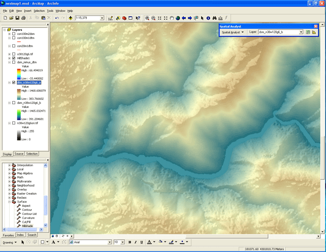
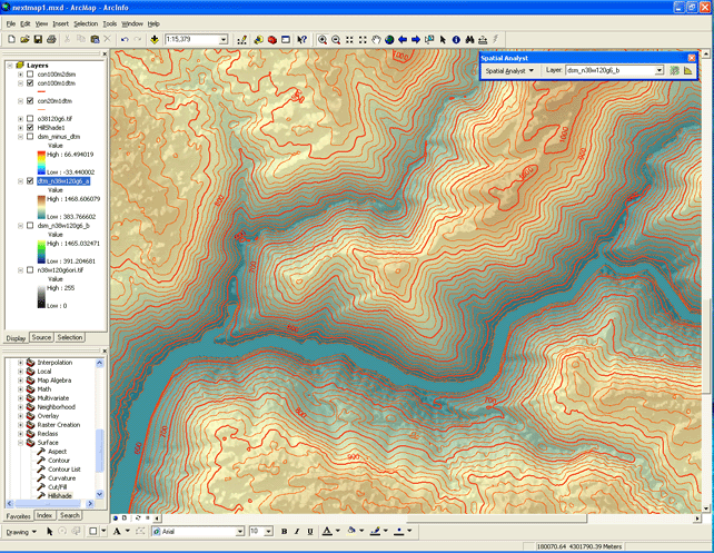
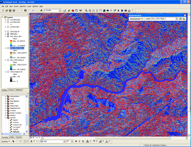
Samples of these data are below for the portion of Slab Creek Reservoir on the American River (this field of view is approx. 4 kilometers in the E-W direction).
Intermap provides the following data products:
- Orthorectified
Radar Imagery (ORI)
1-meter resolution/pixel size - Digital
Surface Model (DSM)
4-meter resolution/pixel size
...Related to the "first return" of the radar signal... - Digital
Terrain Model (DTM)
4-meter resolution/pixel size
...The derived "bare earth surface"... - Contour
lines
...Added using ArcMap Spatial Analyst... - DTM
subtracted from the DSM
...To show differences in vegetation and other land cover...
Please visit the GIF in Mulford Hall to explore this data in person, or contact GIF personnel for more information